A Trip along the Tiaomi Trail
How to go to the Tiaomi Trail?
If it's your first time on the Tiaomi Trail, the complex system of alleys and lanes on Wuxing Street is sure to leave you feeling confused. So now, let's follow the Tiaomi Trail route map!
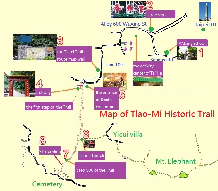
1.We can begin in front of the gate of Wuxing Elementary School, on Songren Road. Walking in the opposite direction from the Taipei 101, take a right turn at the intersection.
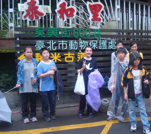
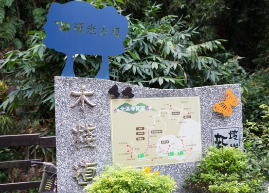
2.Walk to the end of the street, and you can see a large sign at Wuxing Street's Alley 600, marking the direction to the Tiaomi Trail. Continue walking along the slightly curved and inclined road until you come the Songqing supermarket. Walk to the right, as indicated by the sign, to the lane and alley intersection. Walking towards Lane 100, we suddenly come upon the Tiaomi Trail route map wall, making everything clear.
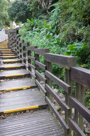
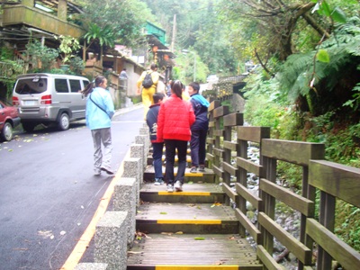
3. Between the the Tiaomi Trail route map wall and the trail's starting point is a steep slope, next to which is a small stream. Having been renovated by the Taihe village headman, the slope now features a railway sleeper-type wooden plank path, separating pedestrians and vehicles, and allowing people to feel safe and comfortable.
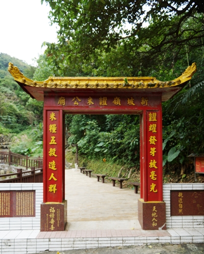
4. The Tiaomi Trail archway is the trail's starting point.
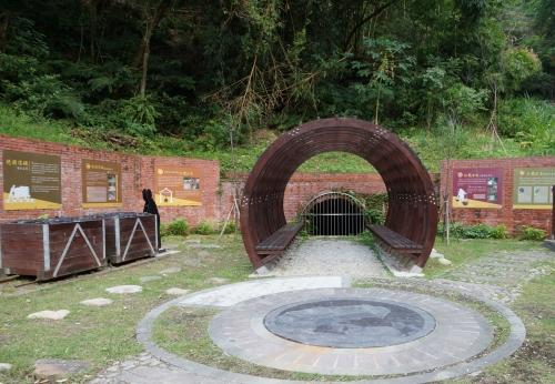
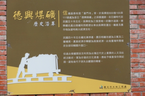
5. Just next to the starting point of the Tiaomi Trail is the Dexin coal mine pithead, here an imagery square is planned to provide explanatory signs and pictures of the pithead, benches, and a model pushcar. From here,, up to step 360 the trail has already been renovated, with yellow stones, handrails and image boards.
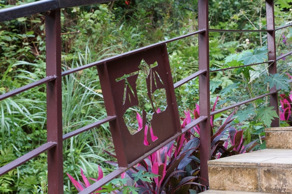
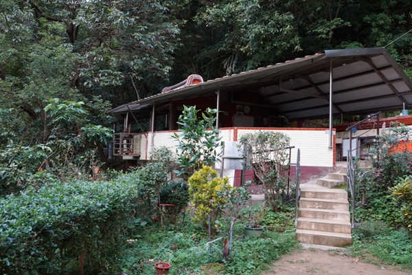
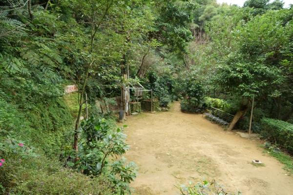
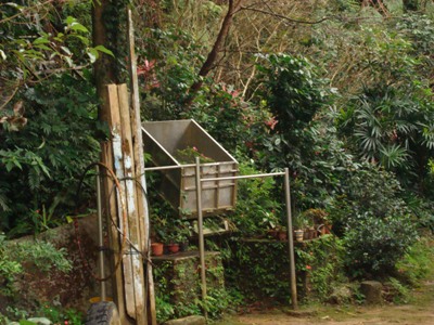
6. At step 360, we arrive at the Tiaomi Temple, next to which is an open area provided for people to rest and exercise. From the side of this open area, you can see the rail line going up the mountainside. This was built initially to transport building materials for the Tiaomi Temple.
7. At step 500 we reach the highest point on the Tiaomi Trail. Looking towards the other side from here, we see that the historical mountain path of the past has now become a cemetery.
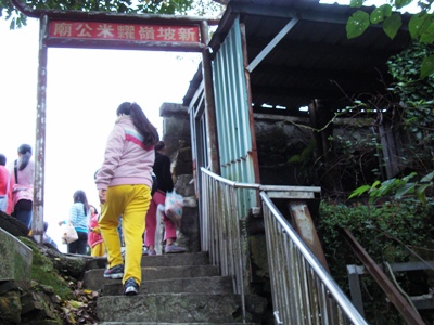
8. Continuing downhill from step 500, we see the place which used to be called Shinporling.

