Today before
The 'tiao' of the name Tiaomi Trail means 'to sell', and the Tiaomi Trail was the path farmers had to take to sell their rice. The history of the trail can be traced back to the era of Daoguang's reign in the Qing dynasty. At that time, the area from Wuxing Elementary School to Sanjangli was all farmland. After rice was harvested, farmers would carry their rice along the Tiaomi Trail mountain path to sell it in Nangang and Mucha. A farmer not taking the mountain route would have to take a long detour to get to where the rice was sold.

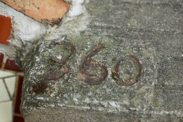
Farmers frequently took the Tiaomi Trail. In order to make the path easy to walk, the people pooled their efforts into laying 500 stone steps reaching to the trail's highest point. Some of the original stone steps stil display their number markings, and the starting point is just close by the Tiaomi notice archway, at Lane 100, Alley 600 of Wuxing Street.
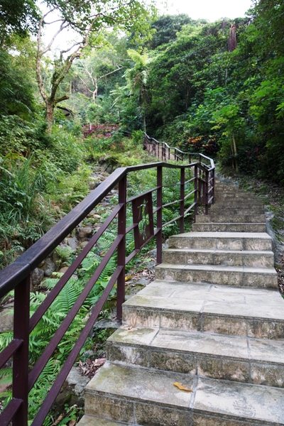
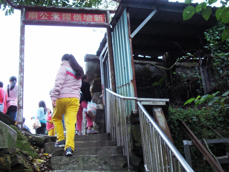
Taking Wuxing Street as the starting point of the Tiaomi Trail, the 500th step is the highest point of the trail, formerly known as Shinporling. The 'por' of Shinporling is an adaptation of the 'pi' character, which refers to a pond used for irrigation. In former times, there were a number of ponds, large and small, at the foot of the Szshoushan (Four Animals Mountain) and Mujrshan (Thumb Mountain). At that time, farmers would use water from the irrigation ponds to grow their crops, but later on mines were built on the mountains, and excess earth from the mines slid down to cover the ponds. And so today Shinpor is a cemetery and the ponds are no longer seen.
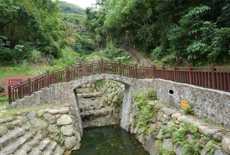
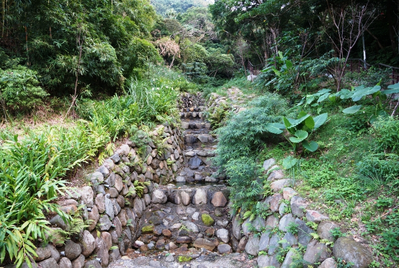
On the Tiaomi Trail there is a valley stream, set in steep terrain. In the past, whenever there were heavy rains, water would scour into the valley, often bringing earth and rocks with it, and the danger of mudslides. Taipei City's geotechnical engineering department, and the Taihe village headman worked in collaboration on planning a natural landscape engineering remedy to this problem, utilizing rocks and stones. This restructuring project was completed at the end of 2011, and at the same time re-laying of the trail's stone steps, the Dexing Mine's image square, the arch bridge*, the wooden plank walkway and the Tiaomi Trail route map boards were also finished.
Before:

After:
